July 28th, Australia Day 157

Wednesday, September 14, 2005

July 28th, Australia Day 157

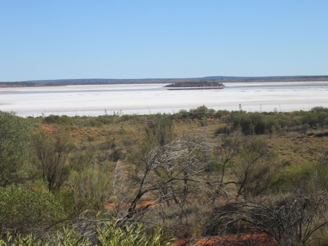
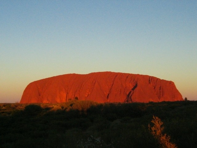
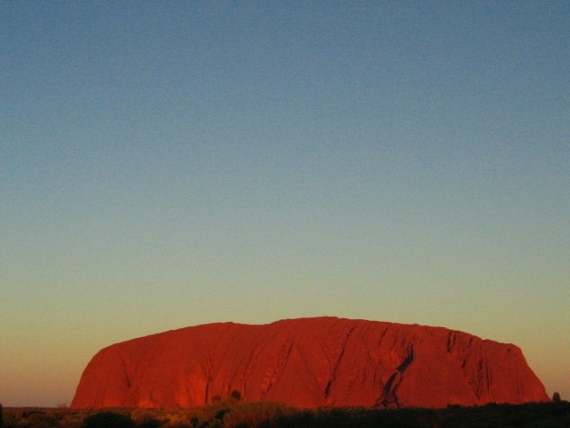
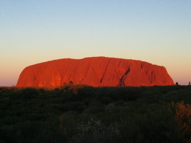
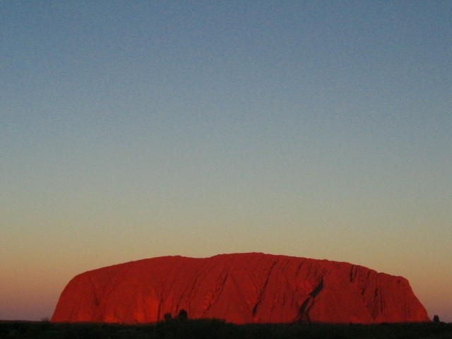
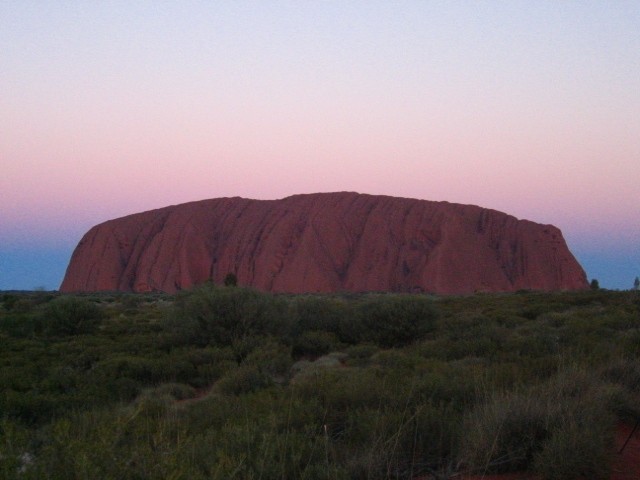
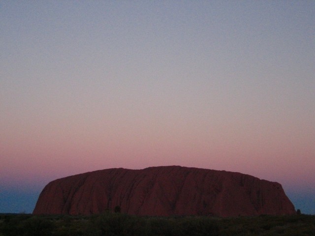
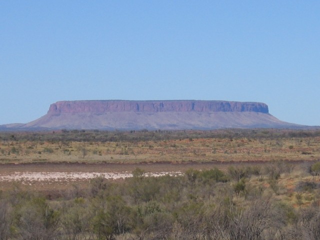
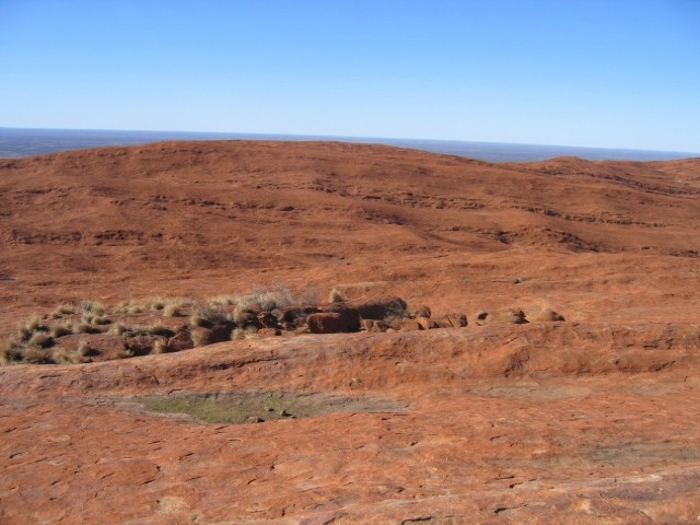
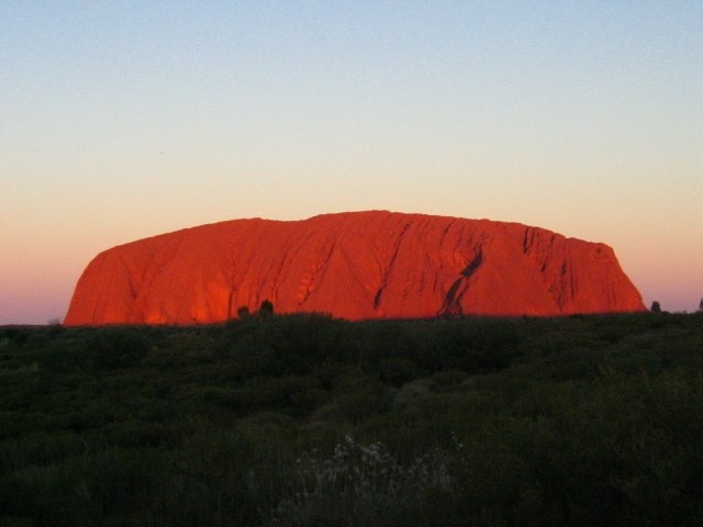
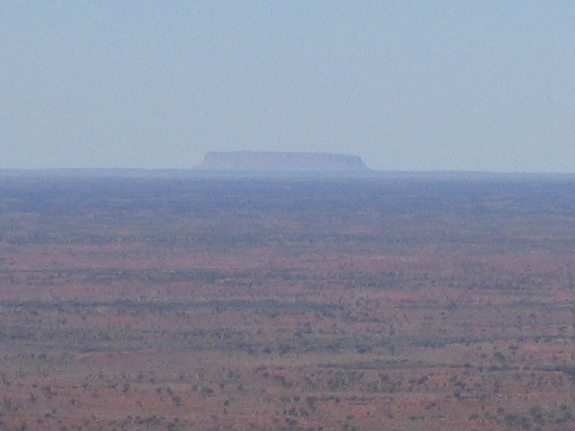
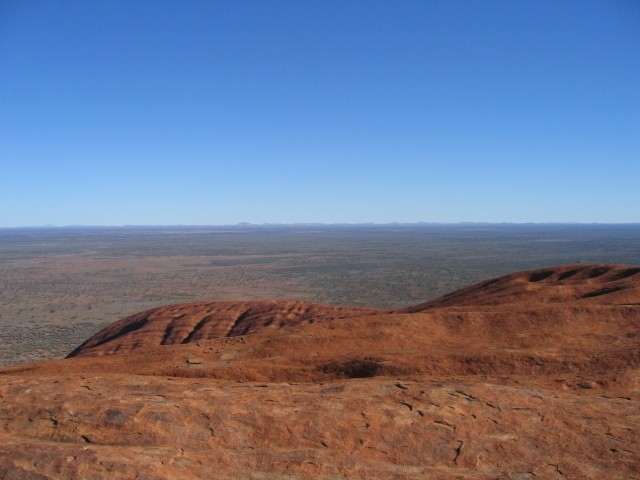
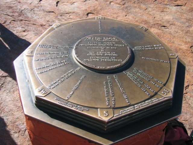
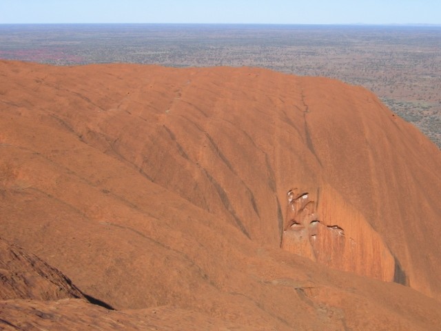
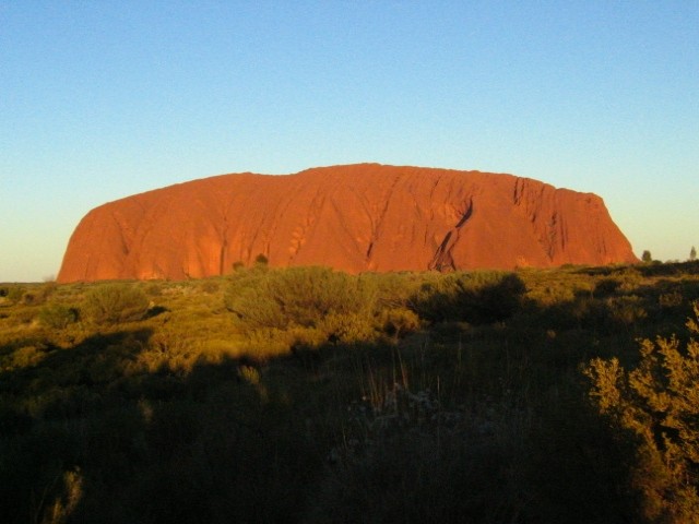
These are the photos I took on my second day of touring in the Red Center.


This is Mount Conner, mistaken by many first-timers as Uluru-Ayers Rock. Posted by Picasa


This is a dry lake, possibly salty, near Mount Conner. Posted by Picasa


This is what Uluru-Ayers Rock looks like when you first drive up to it. Posted by Picasa


This is what the top of Uluru-Ayers Rock looks like. It is somewhat barren although there are a few good shady spots where you can rest. Posted by Picasa


This is the aforementioned Mount Conner, at a distance of about 89 kilometers, as seen from the top of Uluru-Ayers Rock. Posted by Picasa


These are some distant hills (look closely) as seen form the top of Uluru-Ayuers Rock. Posted by Picasa


This is the nearby Kata Tjuta-The Olgas formation as seen from the top of Uluru-Ayers Rock. Posted by Picasa


Atop Uluru-Ayers Rock there is this compass, similar to the one at the airport near Alice Springs, which gives distances and bearings. Posted by Picasa


This phot gives you an idea of how flat the surrounding country is. From the top of Uluru-Ayers Rock, you can see this great expanse of flatness which stretches to the horizon, rivalling Saskatchewan. Posted by Picasa


These are some of the rills caused by water erosion on top of Uluru-Ayers Rock. Posted by Picasa


These are some people scaling Uluru-Ayers Rock. I was using the 12X zoom so you can imagine the size of this feature. Posted by Picasa


This is the trail to the top of Uluru-Ayers Rock and I assure you it is quite challenging and is not for everyone. You can see the chain running up the trail. Posted by Picasa


This is what the sides of Uluru-Ayers Rock look like. The soft stone has been eroded by wind and water for countless thousands of years and clearly shows its age. Posted by Picasa


This is what Kata Tjuta-The Olgas looked like against the background of a sunset sky. Posted by Picasa


This is the sun setting over the Red Center. Kata Tjuta-The Olgas can be seen in the left of this photo. Posted by Picasa


This is the first in a series of 10 photos documenting Uluru-Ayers Rock's progression through sunset. The colour changes from a sort of orange to red and finally to brown. The reason for changing the position of Uluru-Ayers Rock in the photos is that it gives a more accurate depiction of the colour contrast at the time and it is artistically interesting, in my opnion anyway. Posted by Picasa


Photo 2 Posted by Picasa


Photo 3 Posted by Picasa


Photo 4 Posted by Picasa


Photo 5 Posted by Picasa


Photo 6 Posted by Picasa


Photo 7 Posted by Picasa


Photo 8 Posted by Picasa


Photo 9 Posted by Picasa


Photo 10 Posted by Picasa